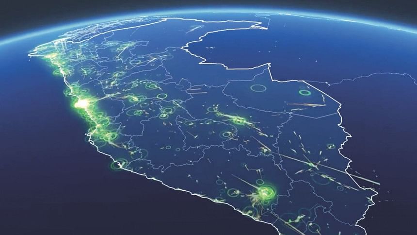
Facebook launches high definition area map for Asia Pacific region

Facebook recently unveiled the launch of their new and exclusive high definition area map in a small session with journalists in Dhaka. This map has been designed to help initiatives and organisations that try to locate the number of individuals living in certain areas during disaster management or for running welfare programmes like vaccination of children.
The AI team from Facebook has created population maps that are three times more detailed than any other source. The high-resolution population density maps will show an estimate of the number of people living within 30-metre grid tiles, and include the number of children under five, as well as the number of women of reproductive age, and other helpful demographics. Facebook has partnered with Columbia University's Center for International Earth Science Information Network (CIESIN) to ensure a successful run of this data programme.
These maps use census data collected by individual countries and apply them to the 30-metre grid tiles to approximate percentage of different age and gender groups living in that area. High-resolution satellite imagery has been in use for a very long time. However, before Facebook's mapping project, it was exceedingly time-consuming for workers resolving crises to go through millions of data and imagery to search for remote villages and towns.
The Facebook team used AI to solve that problem, efficiently crunching through data at a petabyte scale. For X country, for example, the computer vision system examined 11z.5 billion individual images to determine whether they contained a building. The team found approximately 110 million building locations in just a few days.
"Since I first started my humanitarian career in the Peace Corps up until just a few weeks ago speaking with experts at the 2019 World Health Assembly in Geneva, a common need is accurate population data," says Alex Pompe, a research manager at Facebook. "These maps showcase the power of collaboration between Facebook and top research institutions like Columbia University to combine public data sources and machine learning to empower more data-driven humanitarian projects around the globe.
Facebook will make this map available for public use through a domain with the help of Humanitarian Data Exchange (HDX), which is an open data sharing platform managed by the United Nations Office for the Coordination of Humanitarian Affairs. HDX hosts more than 4,000 country-specific or worldwide datasets. It has already partnered with Kontur and Humanitarian Open Street Map
Crisis event management software vendor Kontur is using population density maps in its Disaster Ninja platform to help the Humanitarian Open Street Map Team to be able to make faster decisions during times of natural disasters. Darafei Praliaskouski, Head of Product from Kontur says, "When you're deploying a team of disaster responders to crisis site, you want to provide them with a map of the area they'll be operating in, especially in vulnerable regions throughout Asia. We've made Disaster Ninja with Facebook Population Density maps so that mappers don't have to manually inspect thousands of square kilometres and focus on mapping the AI-highlighted buildings and roads right away."

 For all latest news, follow The Daily Star's Google News channel.


Comments